
Kiribati: Level 1 Exposure Data


This dataset is part of the data series [?]: Global Earthquake Model Foundation - Level 1 Exposure Data
Downloads
Related Showcases
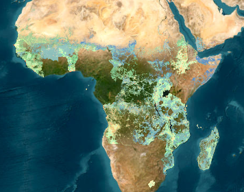
METEOR Map Portal
Interactive map portal for the Modelling Exposure Through Earth Observation Routines (METEOR) project . Learn more about the METEOR...
47 Datasets
-
hdx_dataseries_bot updated the dataset Kiribati: Level 1 Exposure Data
1 year ago -
hdx_bot_tags updated the dataset Kiribati: Level 1 Exposure Data
2 years ago -
godfrey updated the dataset Kiribati: Level 1 Exposure Data
3 years ago -
obadah updated the dataset Kiribati: Level 1 Exposure Data
3 years ago
 Download
| Source | METEOR Project |
|---|---|
| Contributor | Global Earthquake Model Foundation |
| Time Period of the Dataset [?] | May 05, 2020-May 05, 2020 ... More |
| Modified [?] | 2 April 2021 |
| Dataset Added on HDX [?] | 2 April 2021 Less |
| Expected Update Frequency | Never |
| Location | |
| Visibility |
Public
|
| License | Other : |
| Methodology | |
| Caveats / Comments | |
| Tags | |
| File Format |