
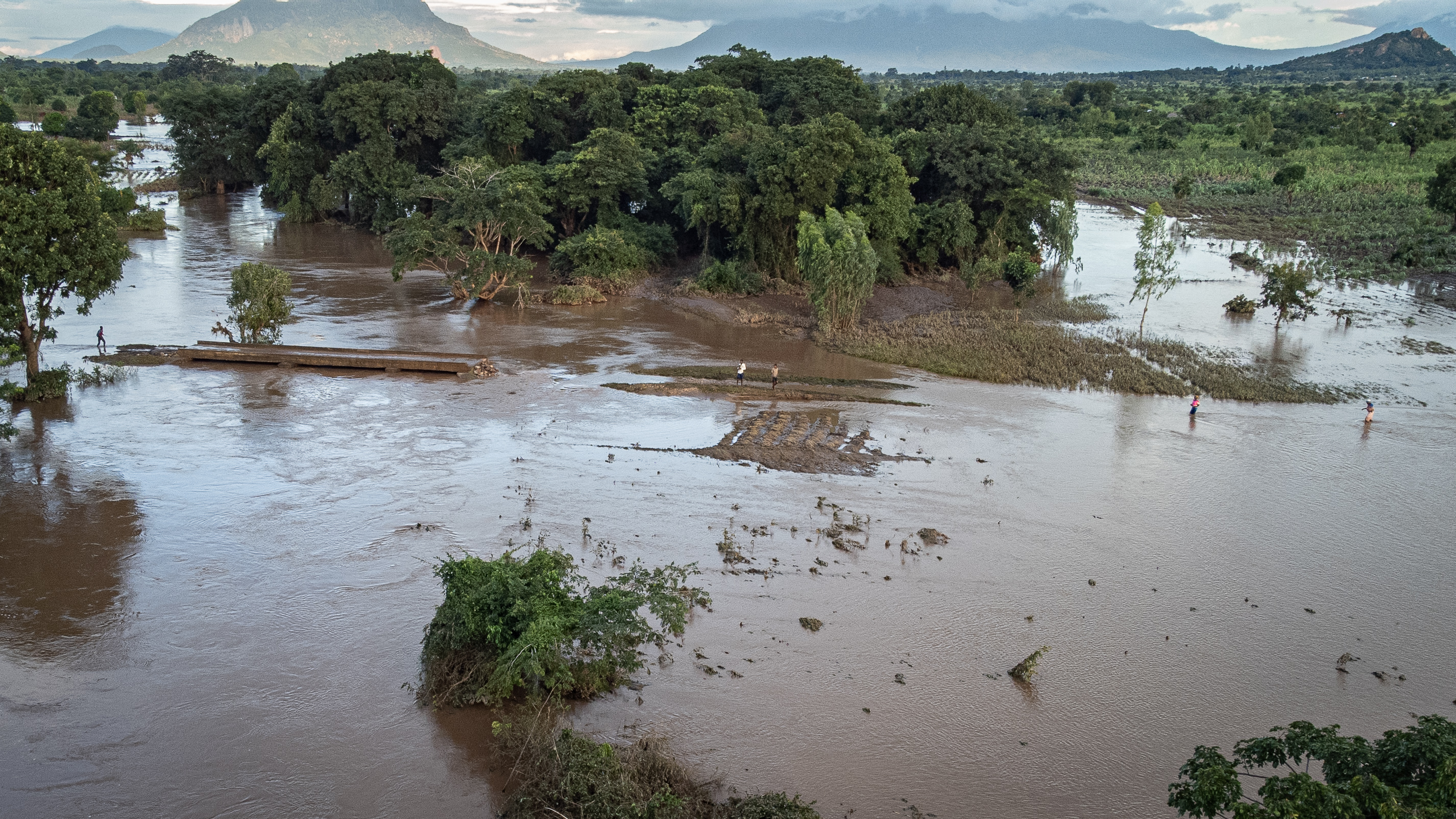
Zambia: Flood - 3695421.0 sq m - Feb 2023


This dataset is part of the data series [?]: WFP Advanced Disaster Analysis and Mapping - Flood Data
Downloads
-
paseck updated the dataset Zambia: Flood - 3695421.0 sq m - Feb 2023
6 months ago -
hdx_dataseries_bot updated the dataset Zambia: Flood - 3695421.0 sq m - Feb 2023
6 months ago -
hdx_bot_geopreview updated the dataset Zambia: Flood - 3695421.0 sq m - Feb 2023
8 months ago -
hdx_bot_scrapers updated the dataset Zambia: Flood - 3695421.0 sq m - Feb 2023
8 months ago -
8 months ago -
8 months ago
-
FL-20230216-ZMB-01.geojsonGeoJSON
(28.3M)
Modified: 24 November 2023
-
FL-20230216-ZMB-01.tiffGeoTIFF
(9.6M)
Modified: 24 November 2023
-
FL-20230216-ZMB-01.gpkgGeopackage
(10.3M)
Modified: 24 November 2023
-
metadata.txtTXT
(3.9K)
Modified: 24 November 2023
 Download
| Source | WFP ADAM |
|---|---|
| Contributor | WFP Advanced Disaster Analysis & Mapping |
| Time Period of the Dataset [?] | February 16, 2023-February 16, 2023 ... More |
| Modified [?] | 24 November 2023 |
| Dataset Added on HDX [?] | 24 November 2023 Less |
| Expected Update Frequency | Never |
| Location | |
| Visibility |
Public
|
| License | Creative Commons Attribution Share-Alike |
| Methodology | |
| Caveats / Comments | |
| Tags | |
| File Format |